R3 Vox (R2Sonic’s new incarnation in Malta) will hopefully be releasing the Voxometer in Q1 next year. It is a multibeam, but then it isn’t, as it collects voxels (squares) of data at multiple frequencies all at the same time. This will open up new products, acquisition methods and could really be a game changer. […]
Category: Surveys
Oct
28
2020
Multibeam.net back up and blogging
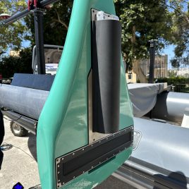
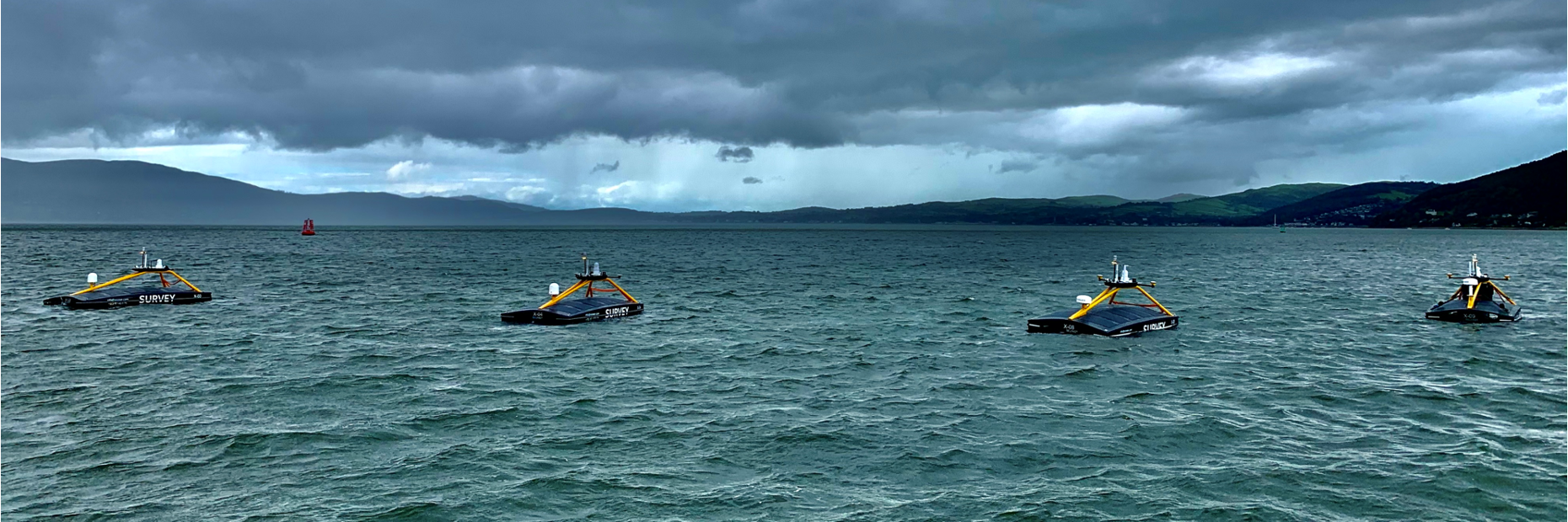
Now that I am the Chief Strategy Officer for XOCEAN I thought I would get back to blogging about any high resolution seabed mapping related news. So my first post should be about the amazing XO-450 USVs. We are currently up to X09 and should be to X12 by early next year. The only USV […]
Sep
08
2016
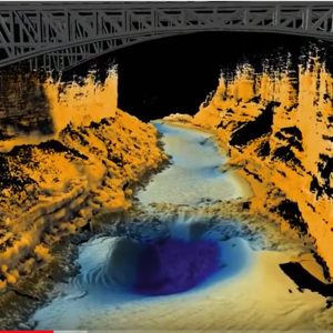
Grand Canyon combined multibeam and laser survey
Blowing my own trumpet here as I made the Fledermaus fly-through, but it is a great dataset that was collected by Seahorse Geomatics for the USGS using a Norbit iWMBS system and their new laser system. I processed the bathymetry and laser in Qimera and then did the visualisation trickery in Fledermaus.
Jul
02
2013
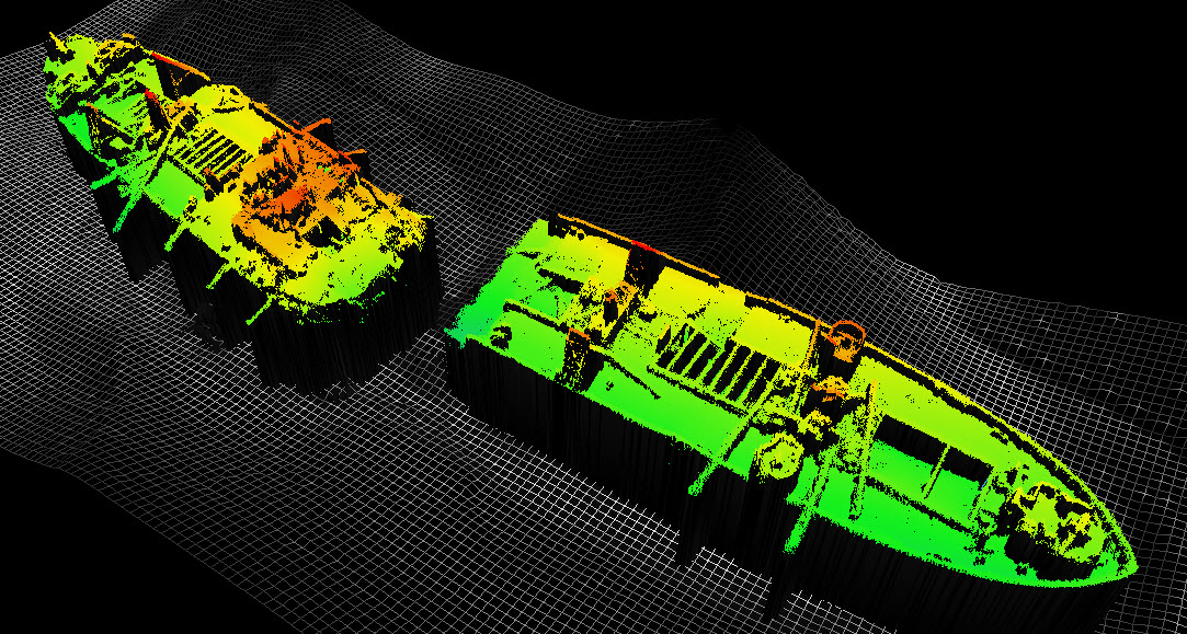
Richard Montgomery
MCA have just released the Richard Montgomery Survey report from the 2011 survey that MMT-NetSurvey conducted. It’s also been in the news recently about whether it will stop the building of a new London airport. I hope it will because Heathrow is much easier to get to for me.
Mar
19
2012
Fugro News – Fugro Acquires EMU Limited to Advance Growth in Marine Environmental Survey and Consultancy
This is interesting as EMU are the other survey contractor working for the Maritime & Coastguard Agency. Surprising that nothing was said at OI last week. Fugro News – Fugro Acquires EMU Limited to Advance Growth in Marine Environmental Survey and Consultancy: “”
Mar
06
2012
A really great way to share multibeam data
This is a fantastic example of the ESRI web portal. They created this from the Shallow Survey Dataset in Wellington, NZ. As I’m going to be involved in the dataset collection for Shallow Survey 2015 in the UK I think I’ll get ESRI to rename the home page to just be Shallow Survey and we […]
Sep
09
2011
Operation Gooseberry
Here at NetSurvey we are just gearing up for Operation Gooseberry, which is a survey we will perform at the end of September of the British and Canadian D-Day Beaches (Gold, Silver and Juno). As well as a survey it is going to be a joint training exercise with the UK Hydrographic Office. We will […]
Gallery


