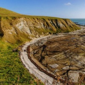
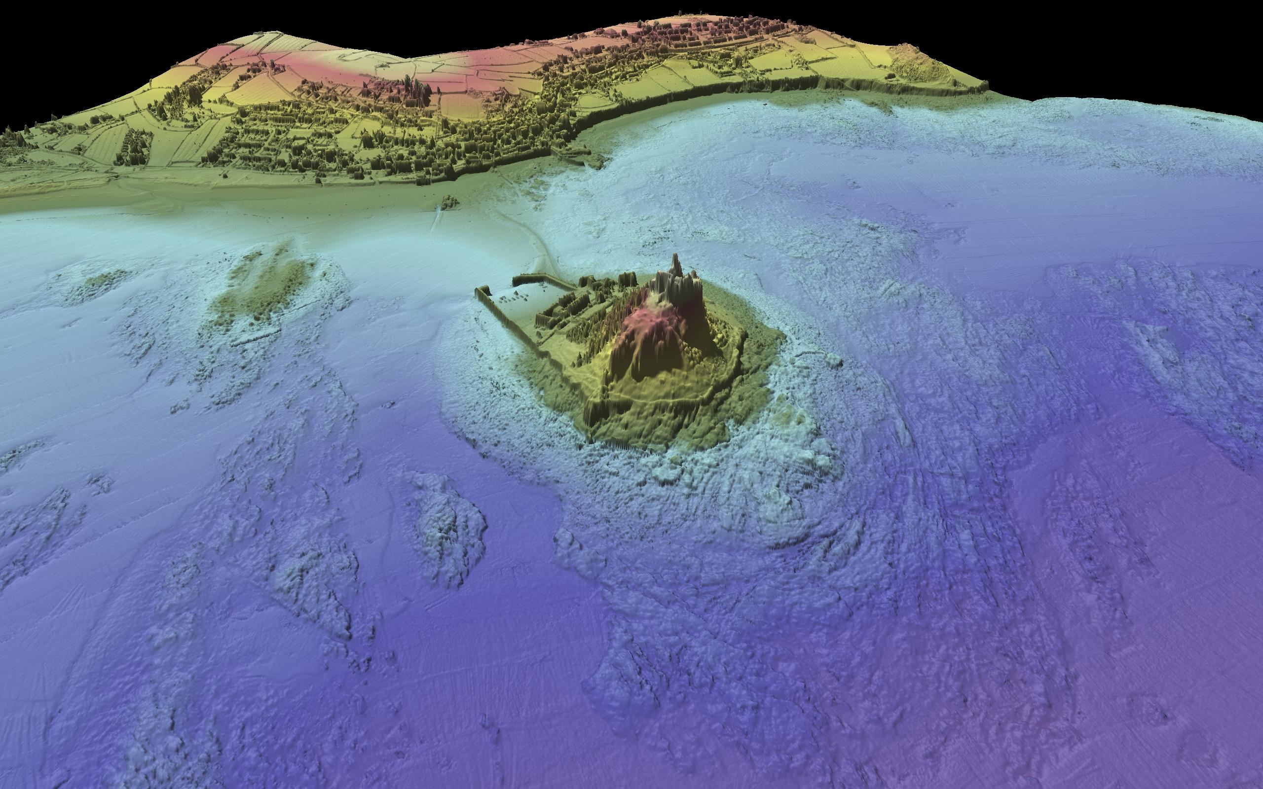
This is pretty amazing to see. An entire bay has become dry following the 7.8 magnitude earthquake off New Zealand last week. A bay on the Kaikōura coast has moved up 1.5 m and therefore is now pretty dry. Photos by Casey Milne (pre) and Andrew Spencer (post)
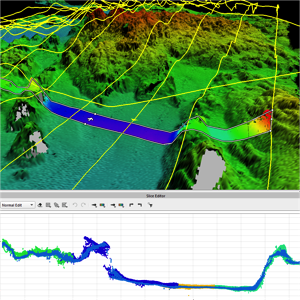
AUV processing
I’ve been taking different AUV datasets through Qimera and I must say, it is really easy. It is even easier now that as well as the post processed inertial SBET format, I have been beta testing the Kongsberg Navlab post processed position and pressure formats too. It only took a minute to get all the […]
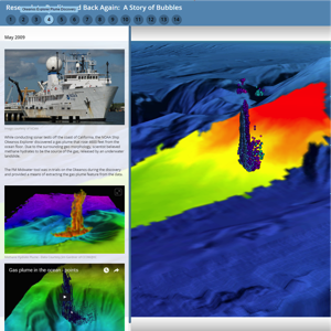
Fantastic ESRI Story Map on the history of multibeam water column
This fantastic story map provides a history of the development of water column processing from research to reality. It was put together by Moe Doucet (@metamoe) from QPS and Victoria Price from Normandeau Associates. They presented it at @ESRIOceans this week. Well worth a view.
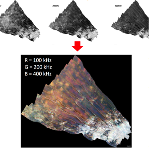
See the seafloor in new ways – Multispectral Backscatter
R2Sonic have just released a new firmware update that allows the system to ping in succession at different frequencies. It works best on the Sonic 2026 as this can ping at 100 kHz, 200 kHz and 400 kHz. QPS QINSy records the frequency with each ping and then FMGT (the backscatter app) processes each frequency […]
