Blowing my own trumpet here as I made the Fledermaus fly-through, but it is a great dataset that was collected by Seahorse Geomatics for the USGS using a Norbit iWMBS system and their new laser system. I processed the bathymetry and laser in Qimera and then did the visualisation trickery in Fledermaus.
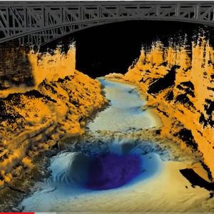
Grand Canyon combined multibeam and laser survey
About duncan.mallace
Underwater mapper, cyclist, tree house building, dog walking, BBQing
View all posts by duncan.mallace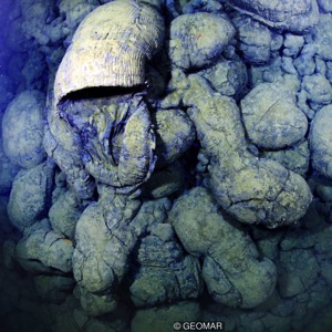
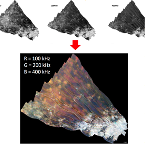
Gallery


