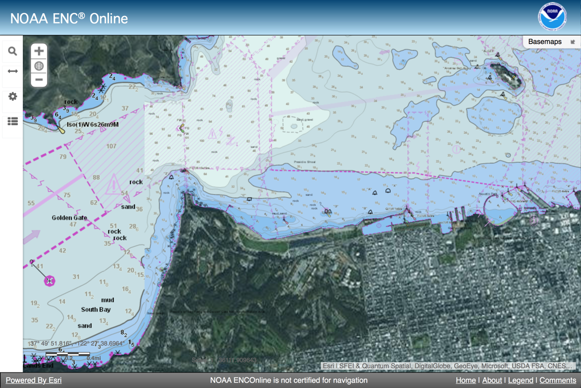
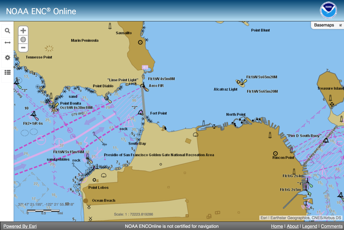
Here is the link to the NOAA ENC server powered by ESRI’s Chart Server. You can see the ENCs normally or you can use them with the ESRI Basemaps like the Image one in the second picture. The ENC can be fully inspected too.
A bit more info;
The NOAA ENC Online viewer is powered by Esri Maritime Chart Server technology. The technology provides features that can be leveraged in various GIS and OGC WMS compliant applications. ENC Online is built on Esri’s ArcGIS API for JavaScript, which highlights many of the features.
Generic features;
- Displays the S-57 datasets using S-52 presentation library specification edition 3.4.
- Provides indexing for the S-57 attribute Object Name (OBJNAM)
- Provides access to S-57 attribute information
- Links external files to S-57 attributes
- Allows for the best scale data to be displayed similar to how an ECDIS displays best scale data based on the map scale as a user zooms in and out of the display.
Web application features
- Search entire service by object name (OBJNAM)
- Identify features and display their attributes in a pick list
- Zoom to selected features
- Change basemaps
- Measure area and distance, get coordinates
- Set safety, shallow and deep depth contours
- Switch between simplified and traditional symbols
- Change the background colors of the display
- Turn off certain features or adjust transparency
Users who want to display NOAA ENC Online as a backdrop for GIS applications should use:
Esri REST Service
OGC WMS 1.3 Compatible


